From a search result to a map
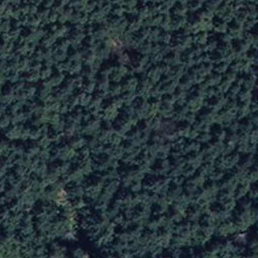
While working on Search Any Change, I searched for deforestation and retrieved the most similar before-and-after patch. It showed dense forest in 2017 and a large clearing in 2023.
| 2017 | 2023 |
|---|---|
 |
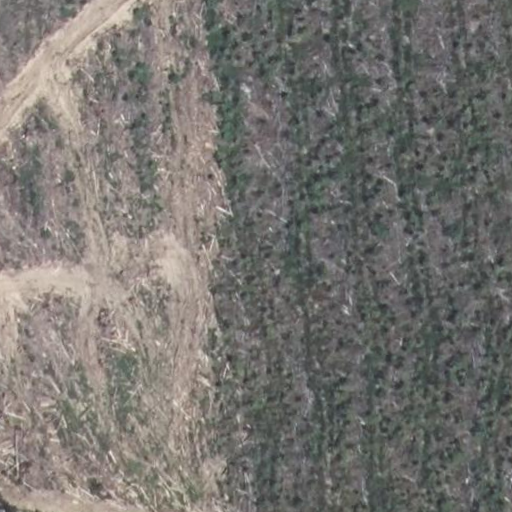 |
I used that patch as the reference for the map. Its embedding was compared with all 420,175 locations in the Rhône collection. Locations with similar before-and-after changes received higher scores, allowing the retrieved example to be expanded from one search result into a regional deforestation map.
Creating the deforestation map
I kept the locations with a similarity score of at least 0.80 and converted their patch footprints into a georeferenced GeoTIFF. This produced a spatial layer that could be opened and inspected in GIS software.
To see whether the result made geographic sense, I placed it over IGN’s CoSIA land-cover map. The orange locations largely follow the wooded part of the study area. I used the earlier CoSIA layer because the question is where forest existed before the clearing.
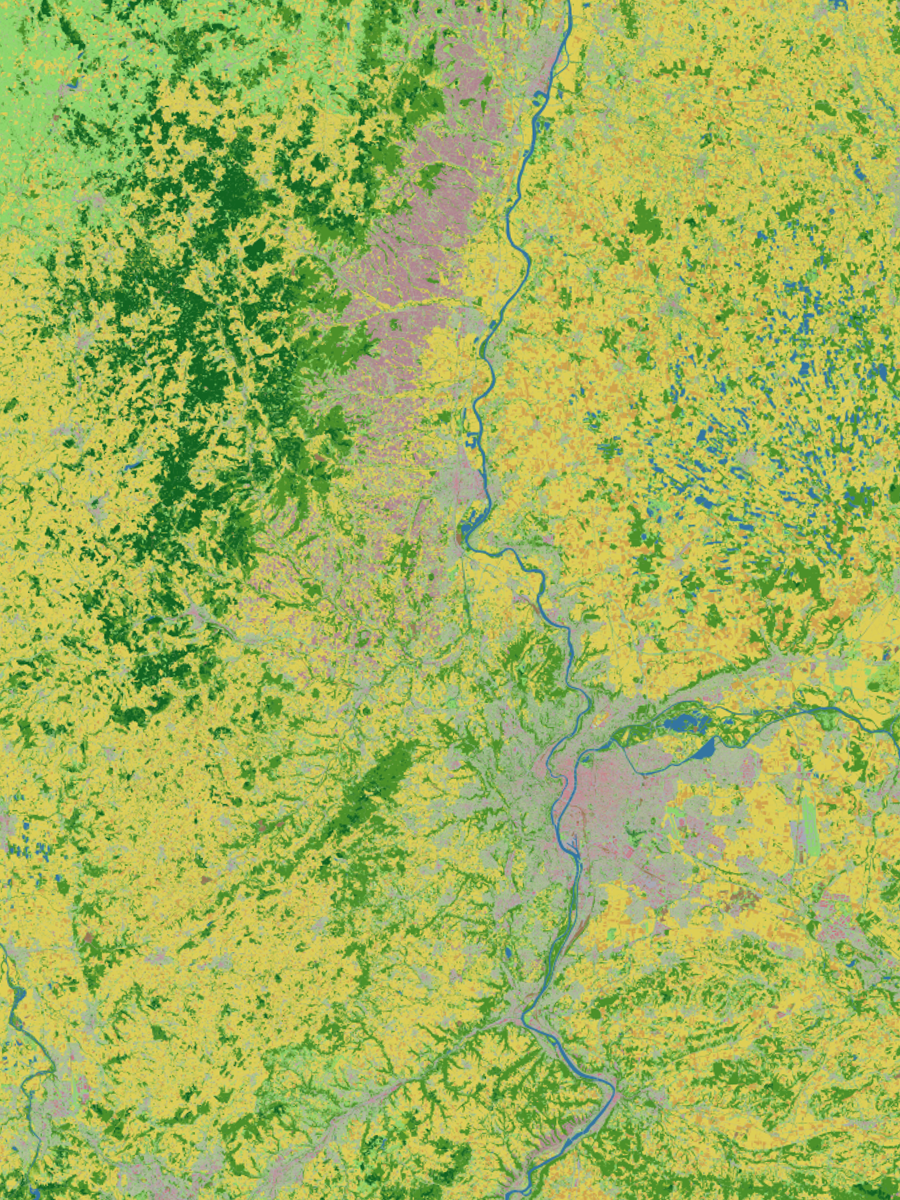
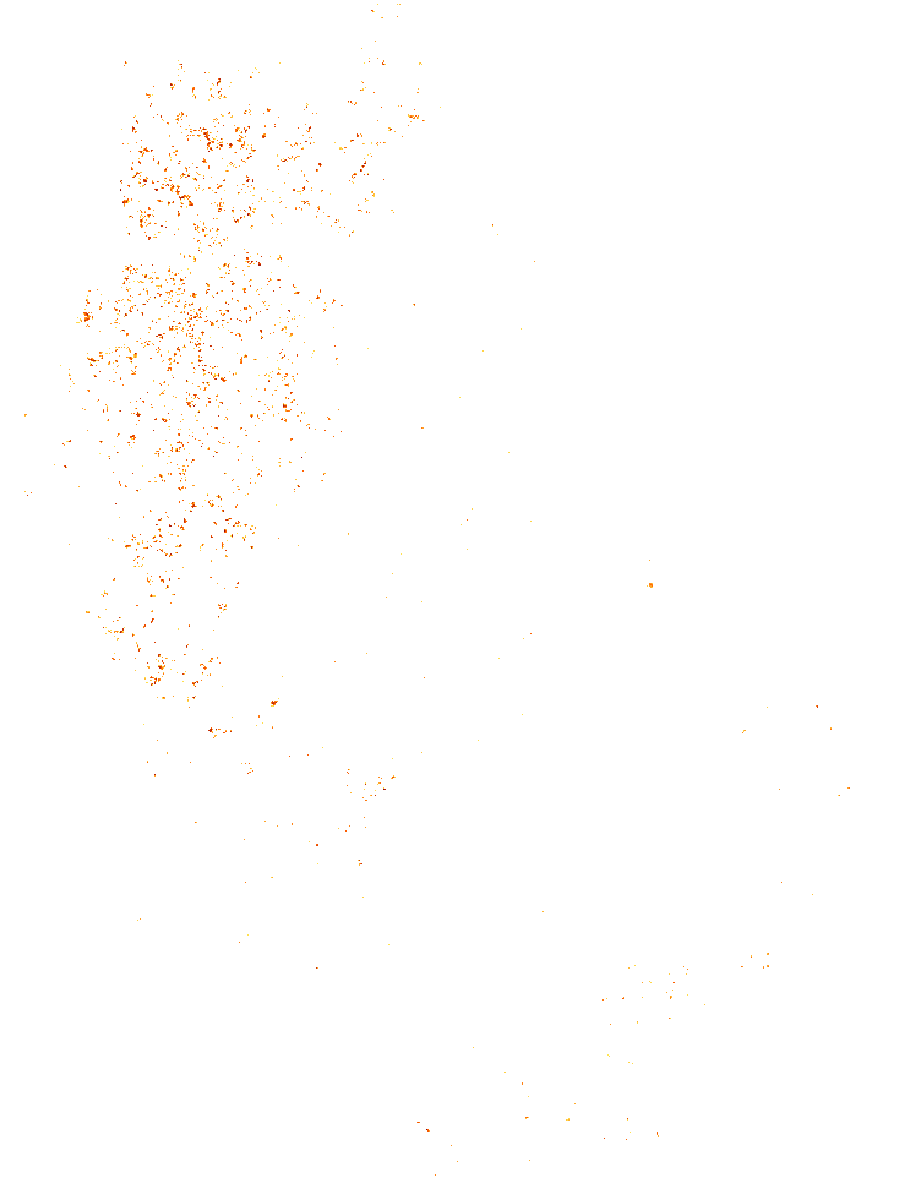
The result is a similarity map rather than a verified inventory: a high score means that a location resembles the selected example, not that deforestation has been independently confirmed there.
Conclusion
I started with one clear deforestation result from Search Any Change and used it to find similar changes across Rhône. Mapping those matches showed that they cluster in the same forested areas visible in CoSIA. That is the whole idea: one example becomes a regional map, without training a separate deforestation model.